WORK ORDER
The work order form opens first
Start with the work order details. The form is already open.
Three short videos. One page. Everything a planner needs to take a work order to a field-ready TCP.
Work order in, job submitted. About a minute.
Start with the work order details. The form is already open.
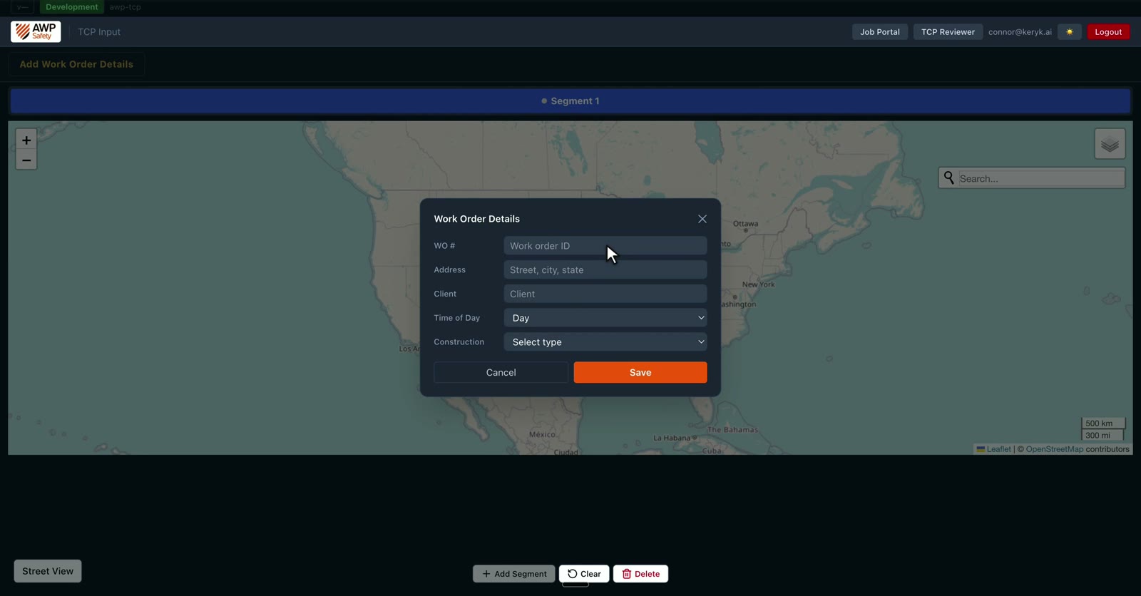
Work order number, address, or coordinates if that is what you have, client, day or night, construction type, then save.
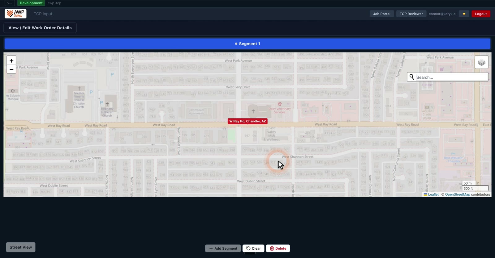
Now find the work zone on the map.
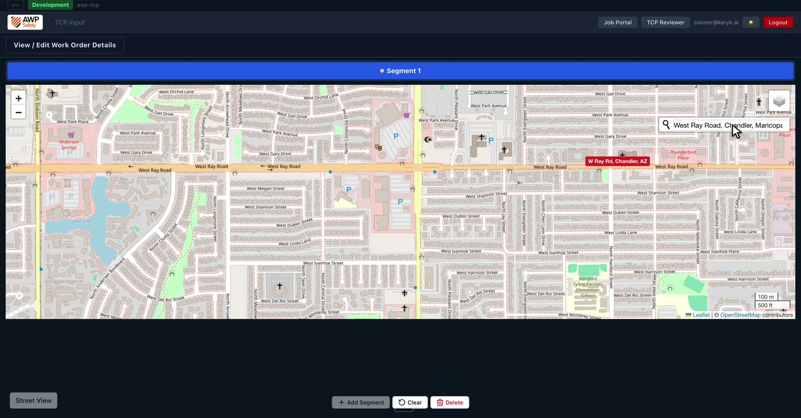
Click the start, click the end. The TCP platform measures the segment for you.
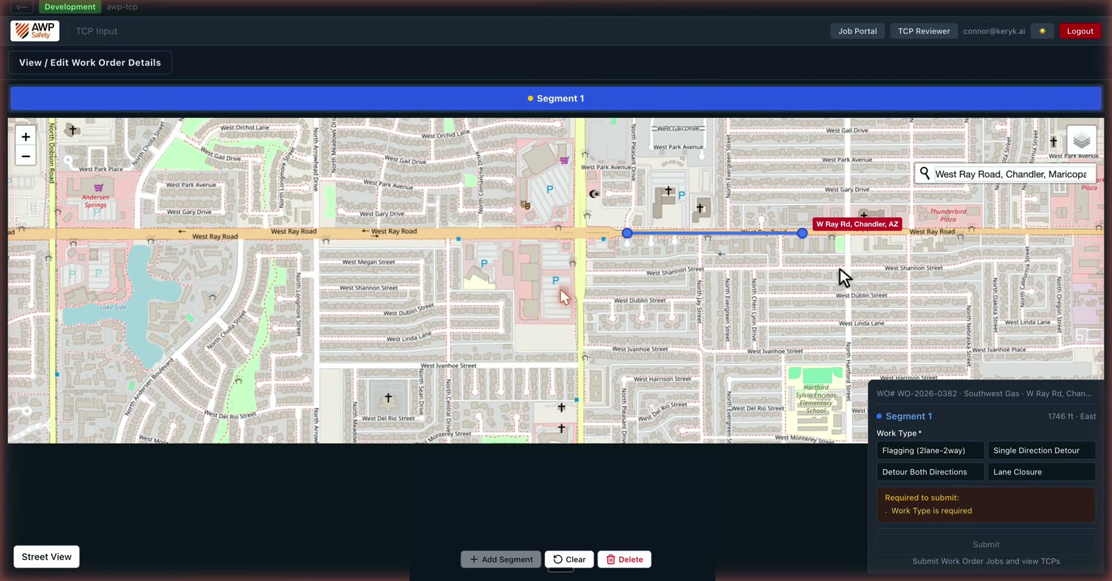
Pick the work type.
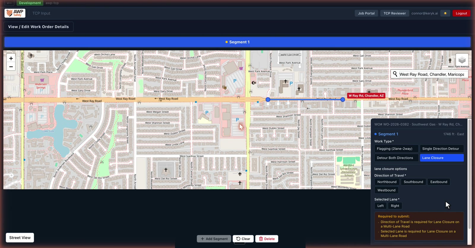
A lane closure asks two more things, direction of travel, and which lane.
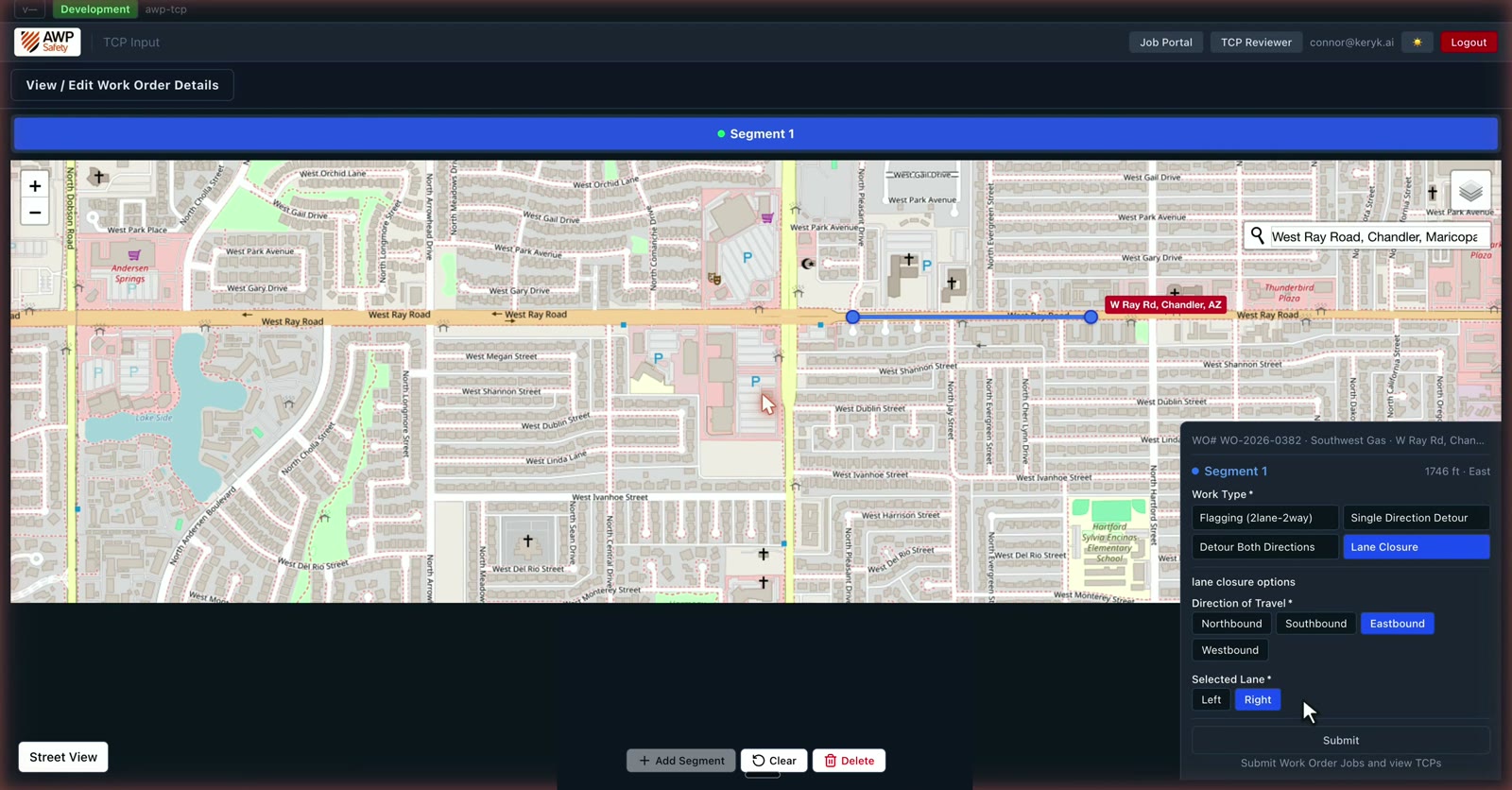
The checklist clears. Submit.
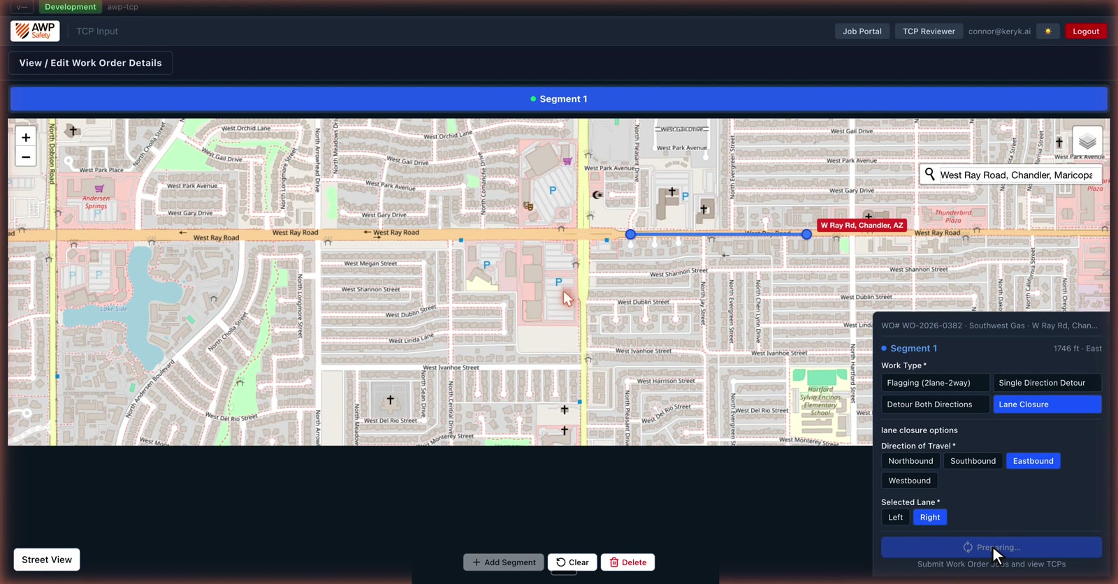
The job goes to the queue, and the TCP Reviewer opens with your plan.
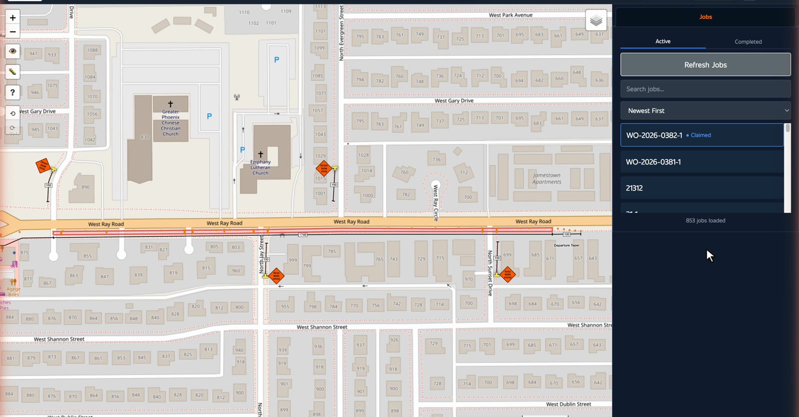
Find the job on the board, claim it, check the plan, release it.
Your jobs live in the TCP Portal. Every job, one board. Collapse the stats. The board is what you work from.
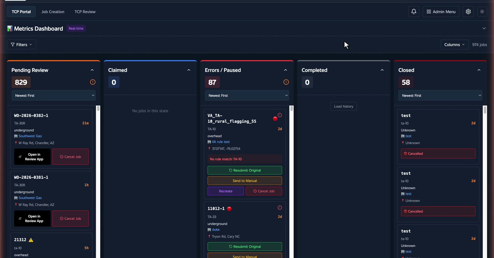
Jobs move left to right. Pending Review. Claimed. Errors. Completed. Closed.
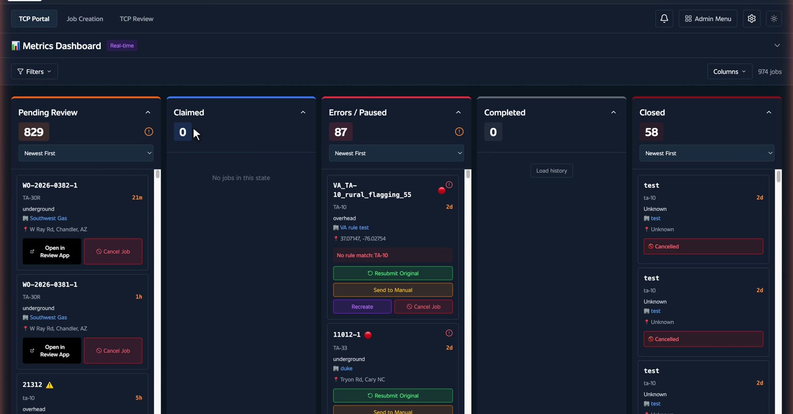
Yours start in Pending Review.
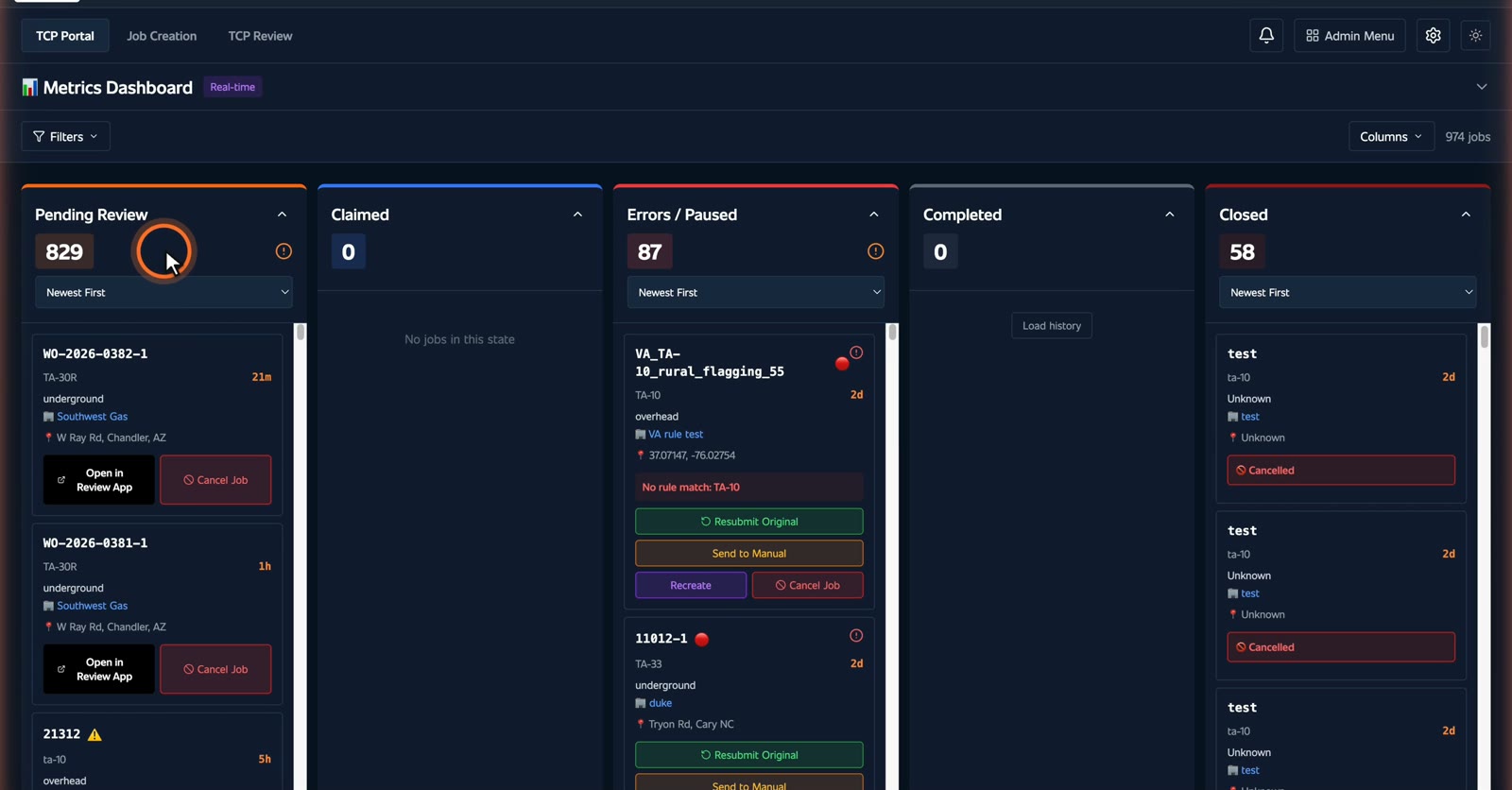
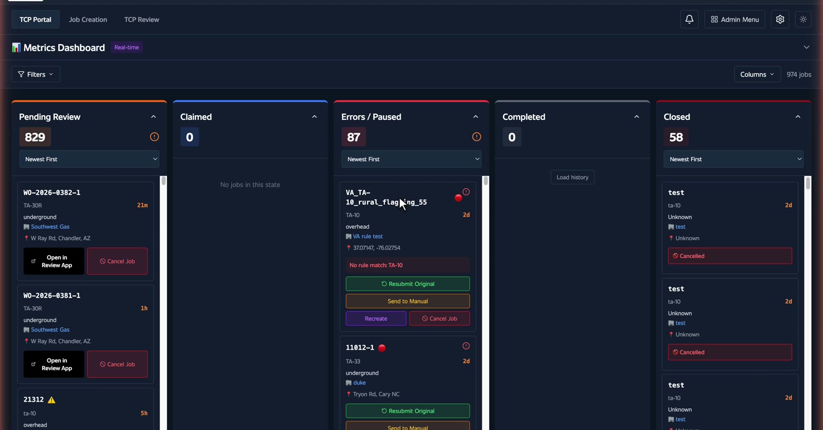
If a job hits a snag, it parks in Errors and waits for a person. Nothing gets lost.
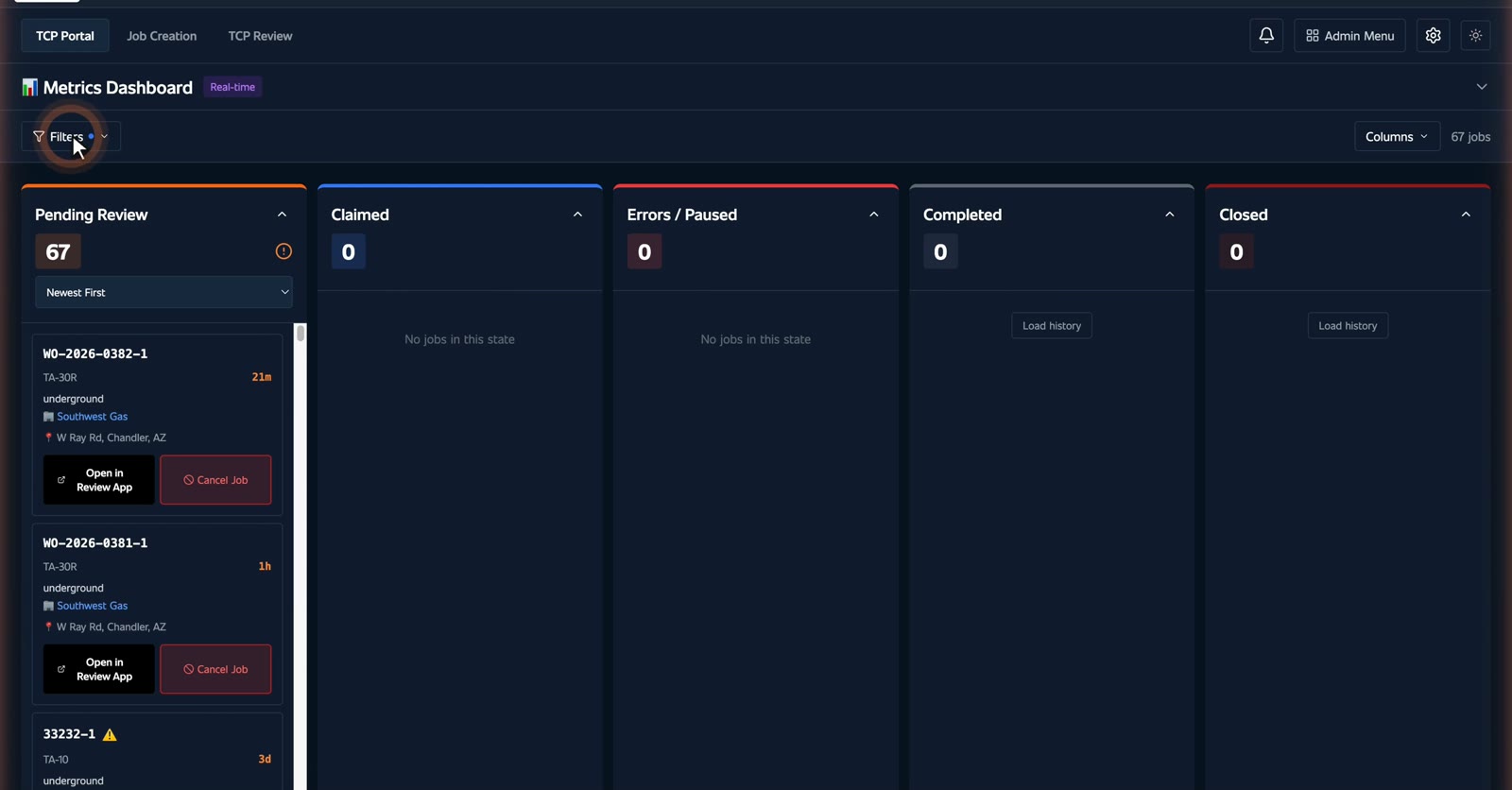
Too many cards? Filter by state or company, or search the work order number.
Each card is one job, the name, the plan type, and how long it has waited, the work type, and the exact location.
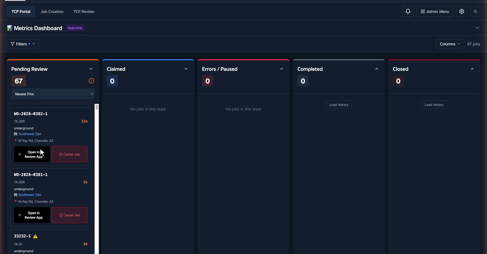
Open in Review App takes you straight to the plan.
Claim it. Claiming locks the job to you for ninety minutes, so two planners never work the same one.
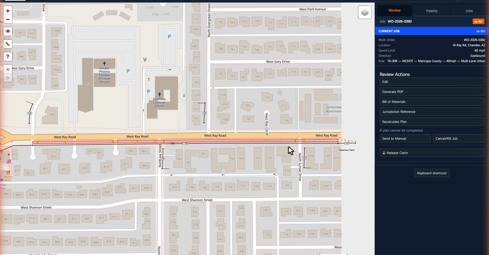
The plan is already drawn, approach taper, buffer, departure taper, measured to the foot.
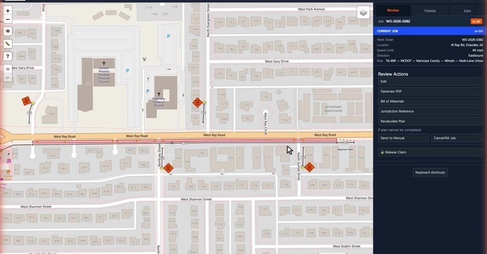
And it used your jurisdiction's standard, not a generic one. T-A thirty R. Maricopa County, forty miles an hour.
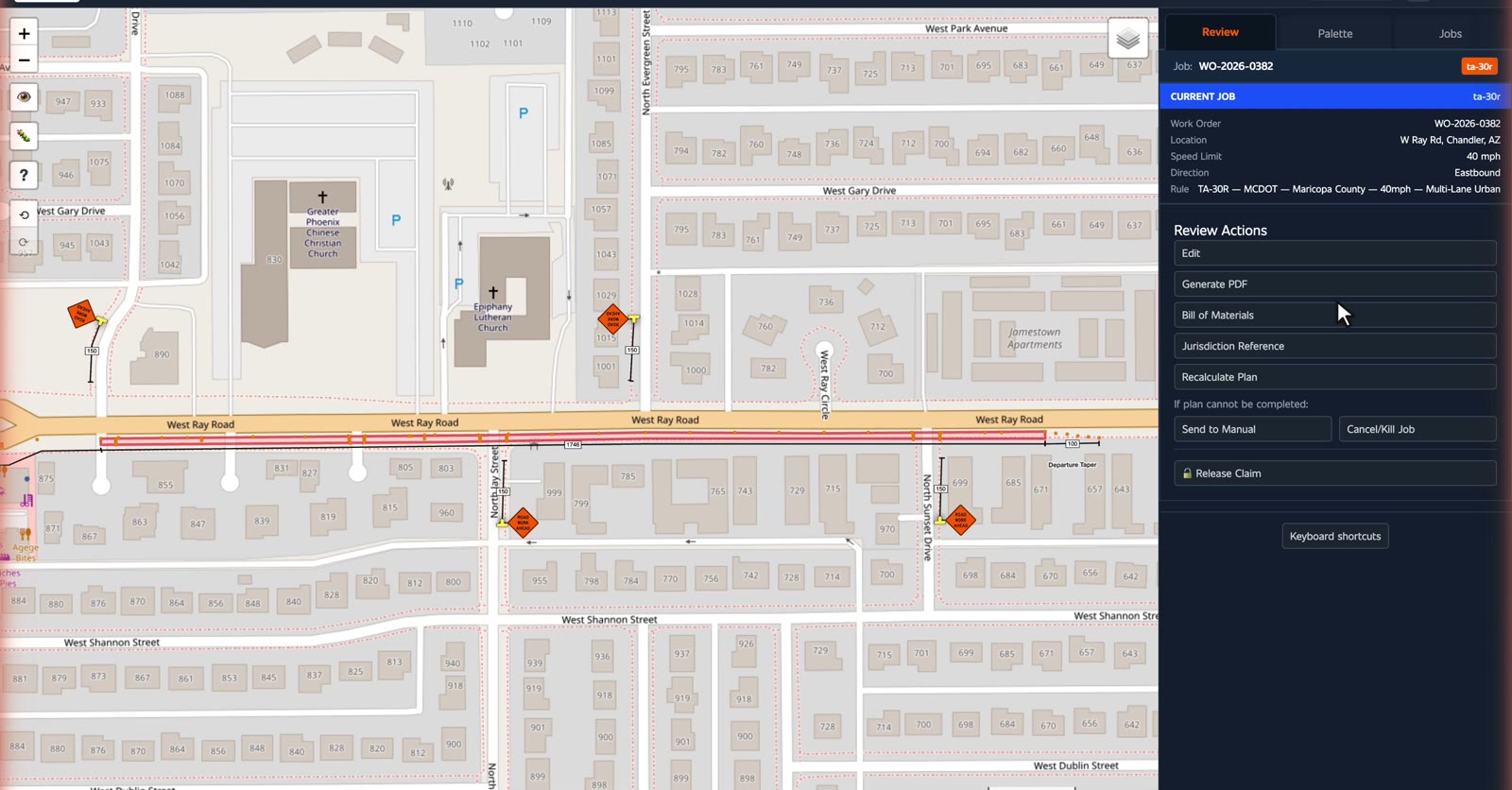
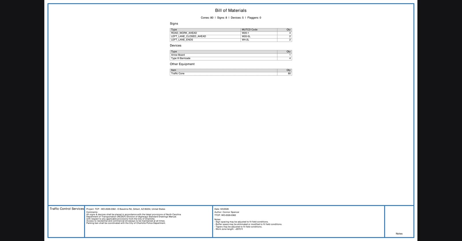
The bill of materials is already counted, every sign with its MUTCD code, and how far out it goes.
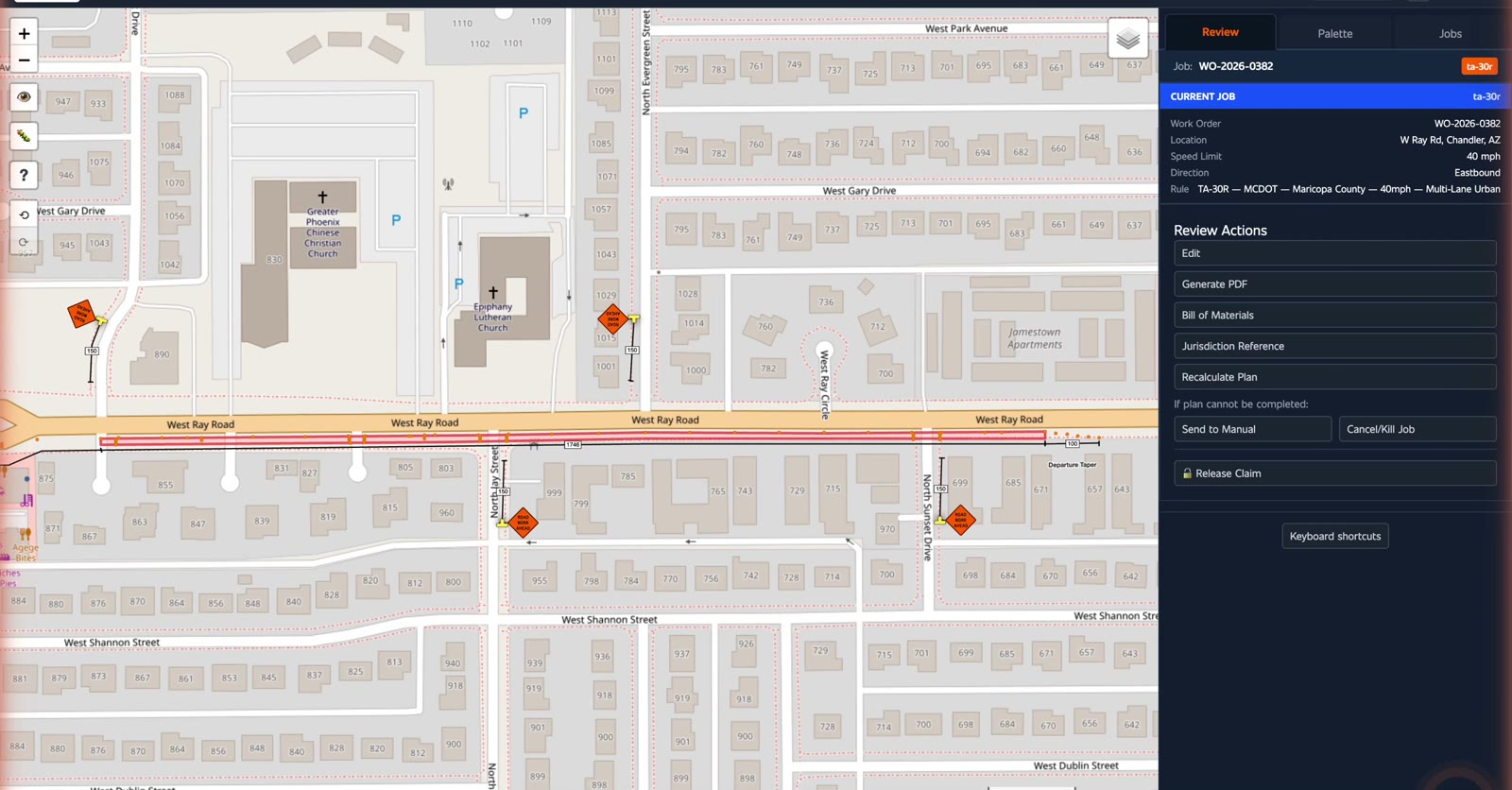
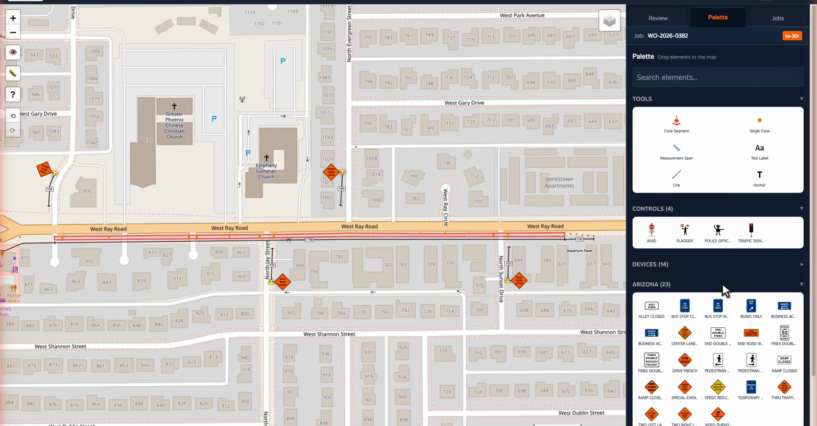
Most of the palette is the general sign sets, the same for everyone, one section is named for the state you are working in.
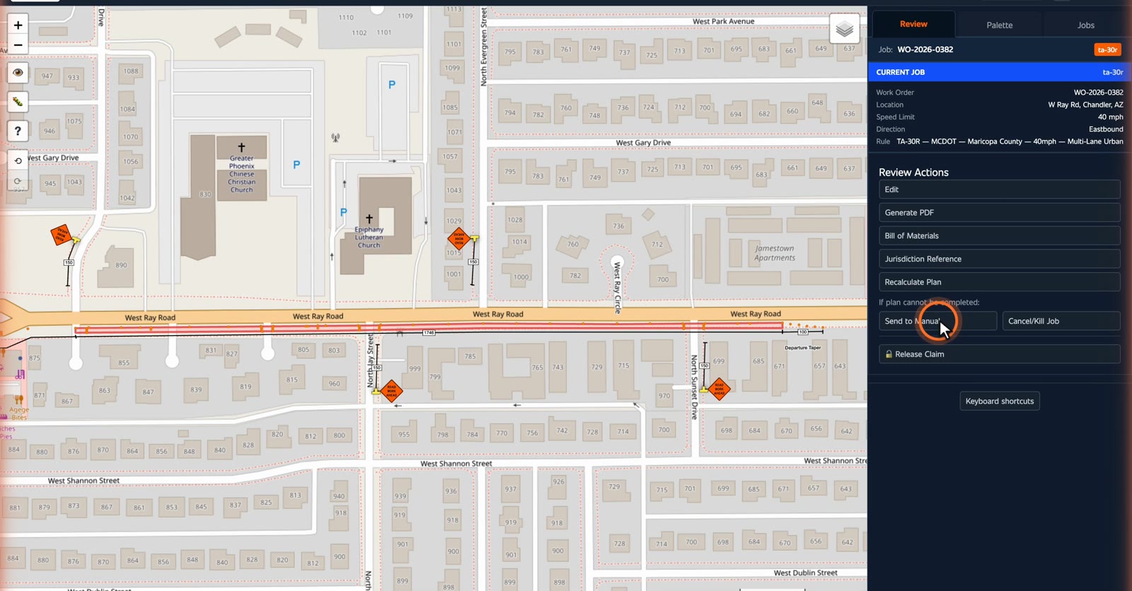
Adjust what needs adjusting, if it needs a person, send it to manual.
Then release the claim, and it goes back to the pool.
Find it, claim it, check it, release it. Next: exporting the plan.
Lay out the sheets, preview the PDF, approve it.
Switch the map to satellite, now you are looking at the real road.
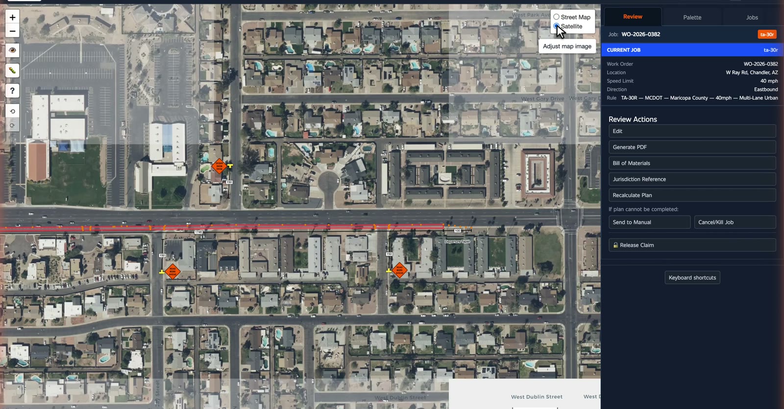
Generate PDF, the plan is longer than one sheet, so you lay the pages out first.
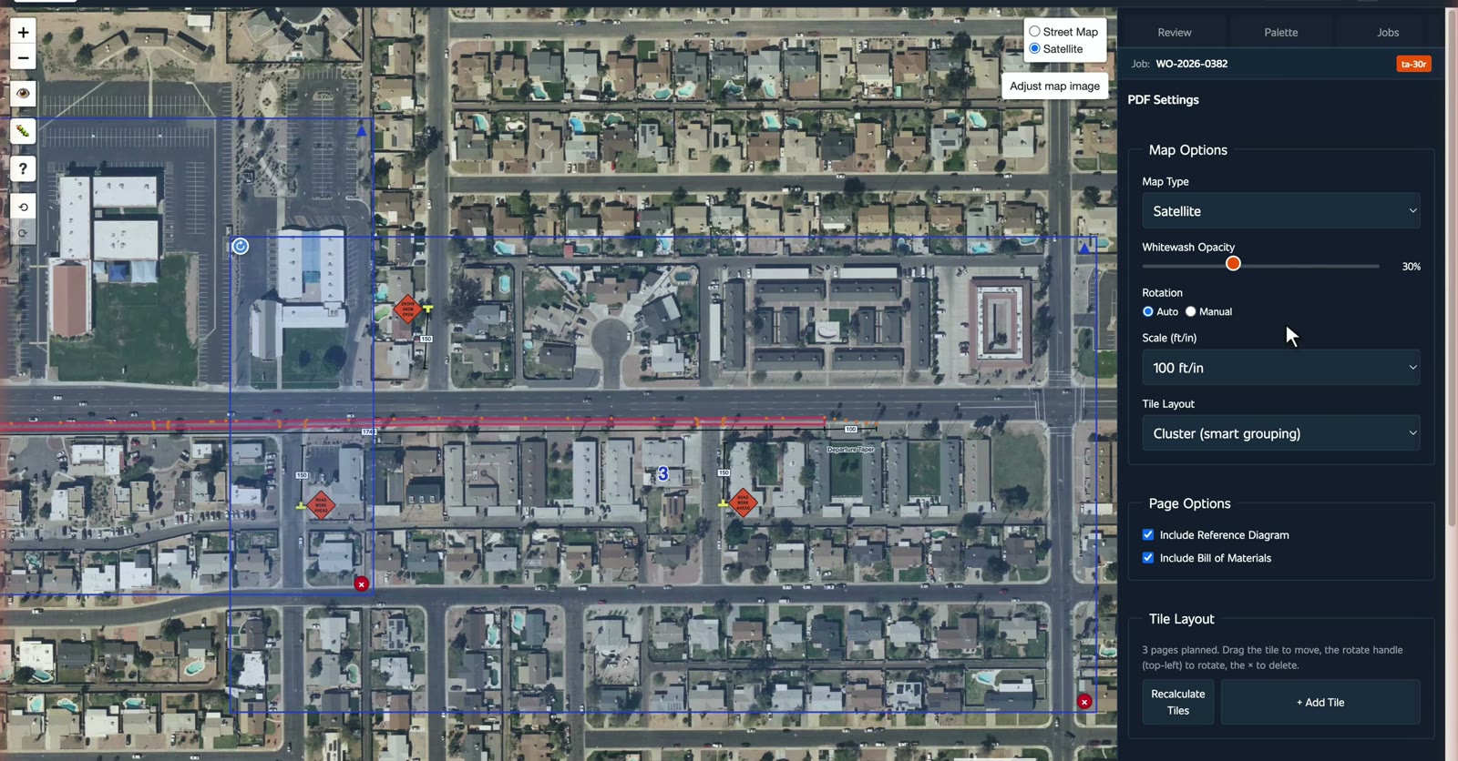
The platform lays the pages out for you, to adjust, change the scale. It decides how much road fits on a sheet.
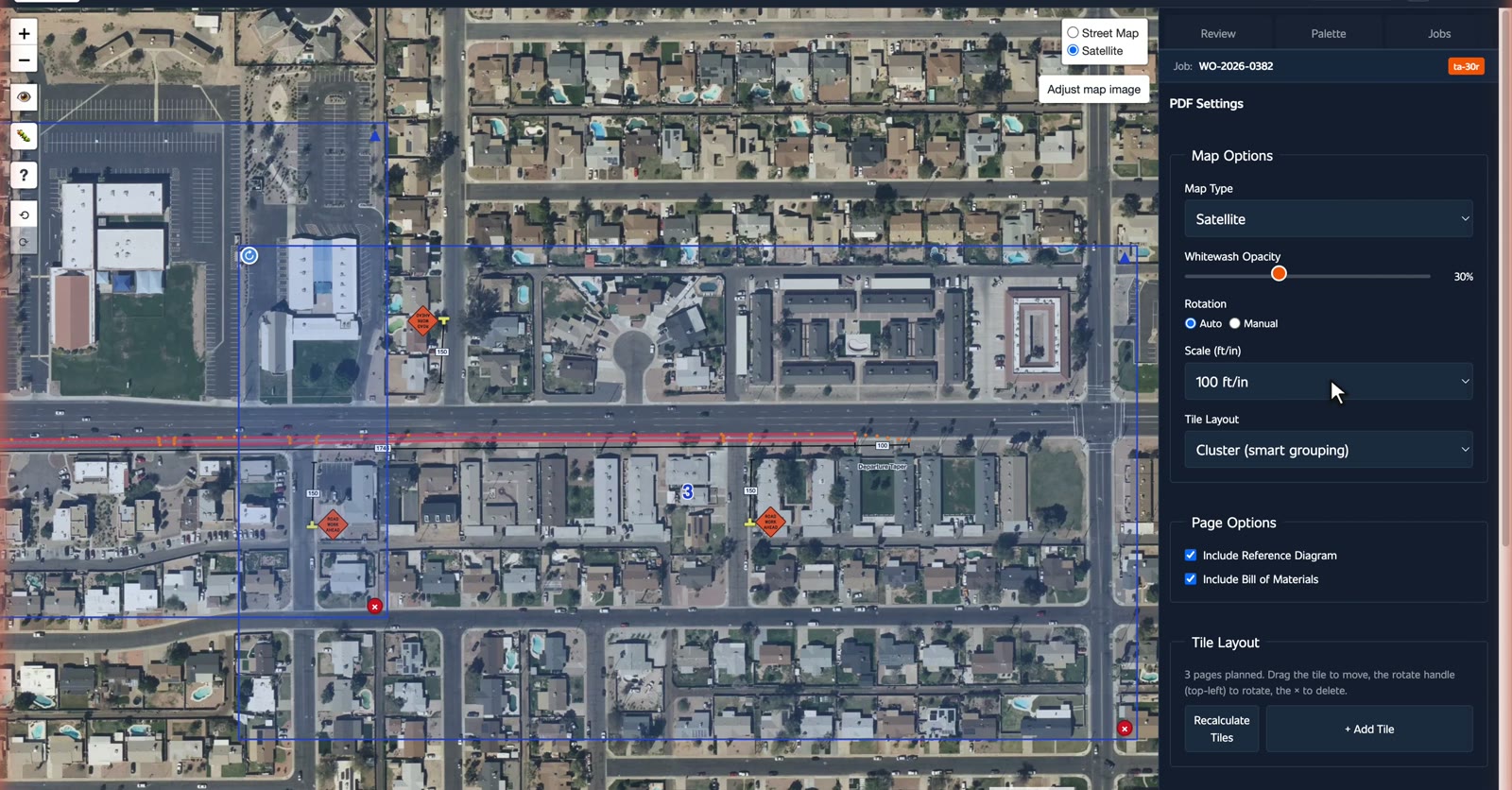
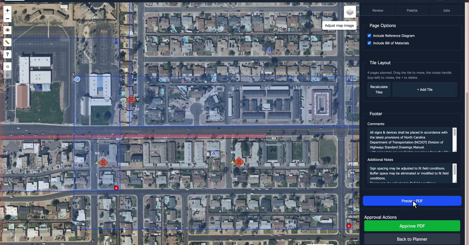
Each box is one sheet, drag it to move it, the handle to turn it, the cross to remove it.
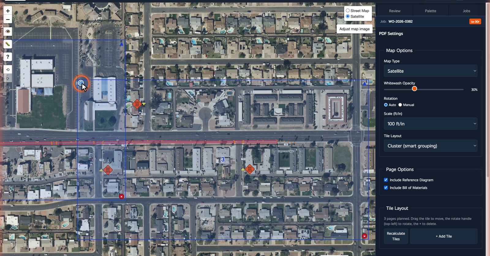
Add a sheet where you need more detail, the reference diagram and the bill of materials ride along.
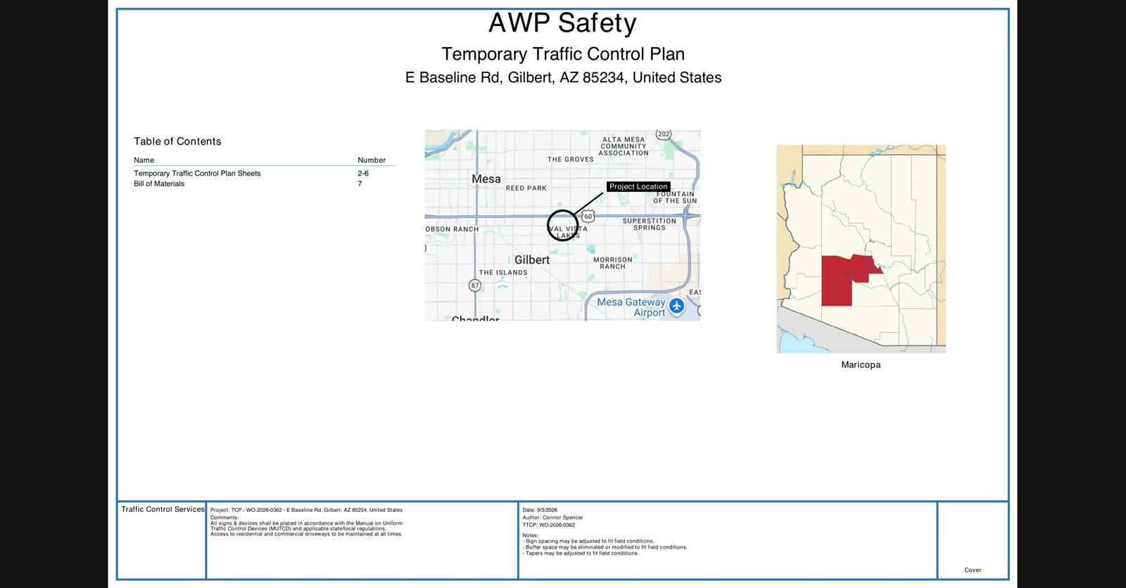
Preview it, a cover sheet, the location, and the county.
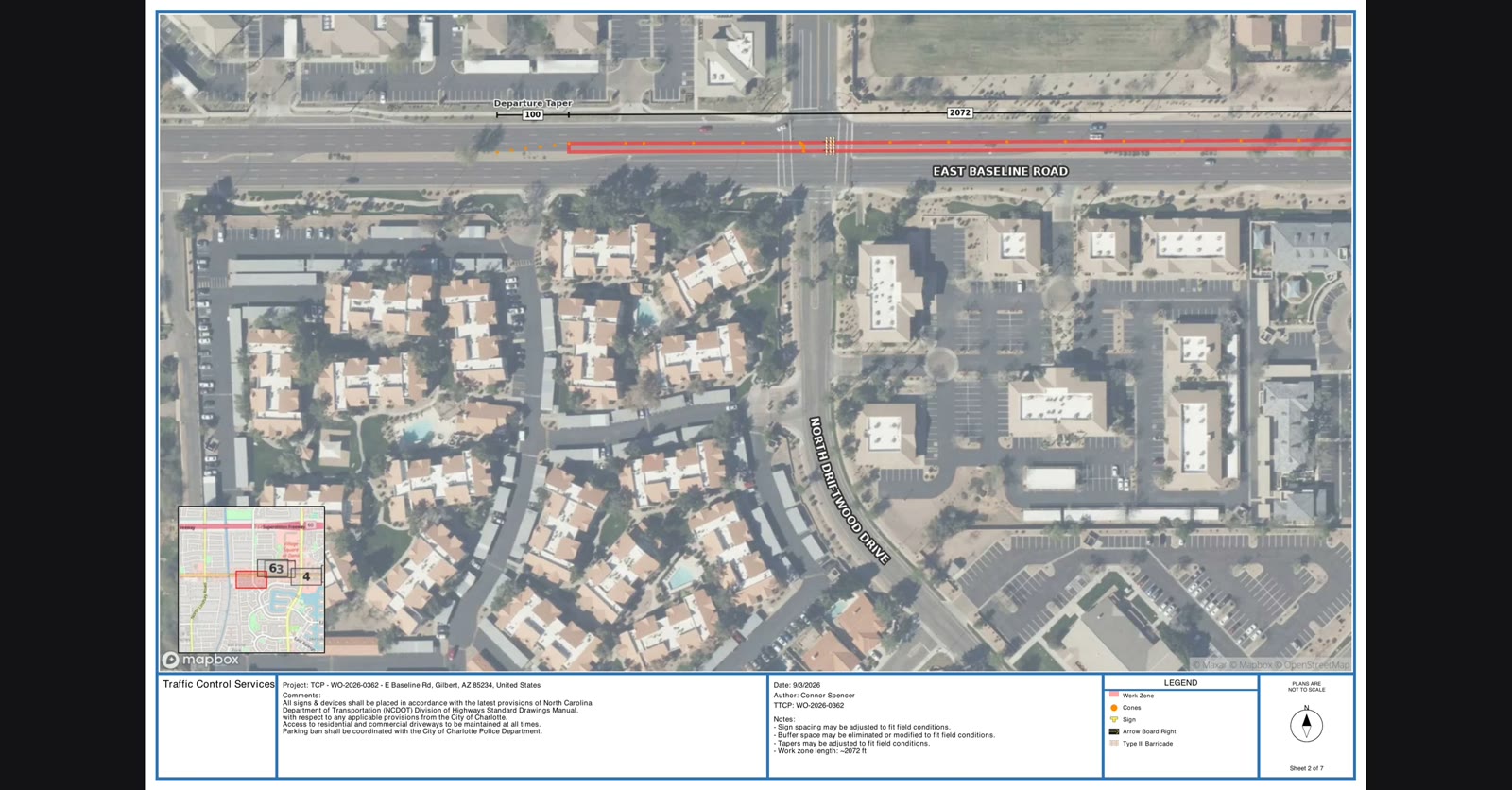
Then the plan itself, match lines, key maps, and every sign dimensioned with its code.
And the materials, counted, every cone, sign, and device.
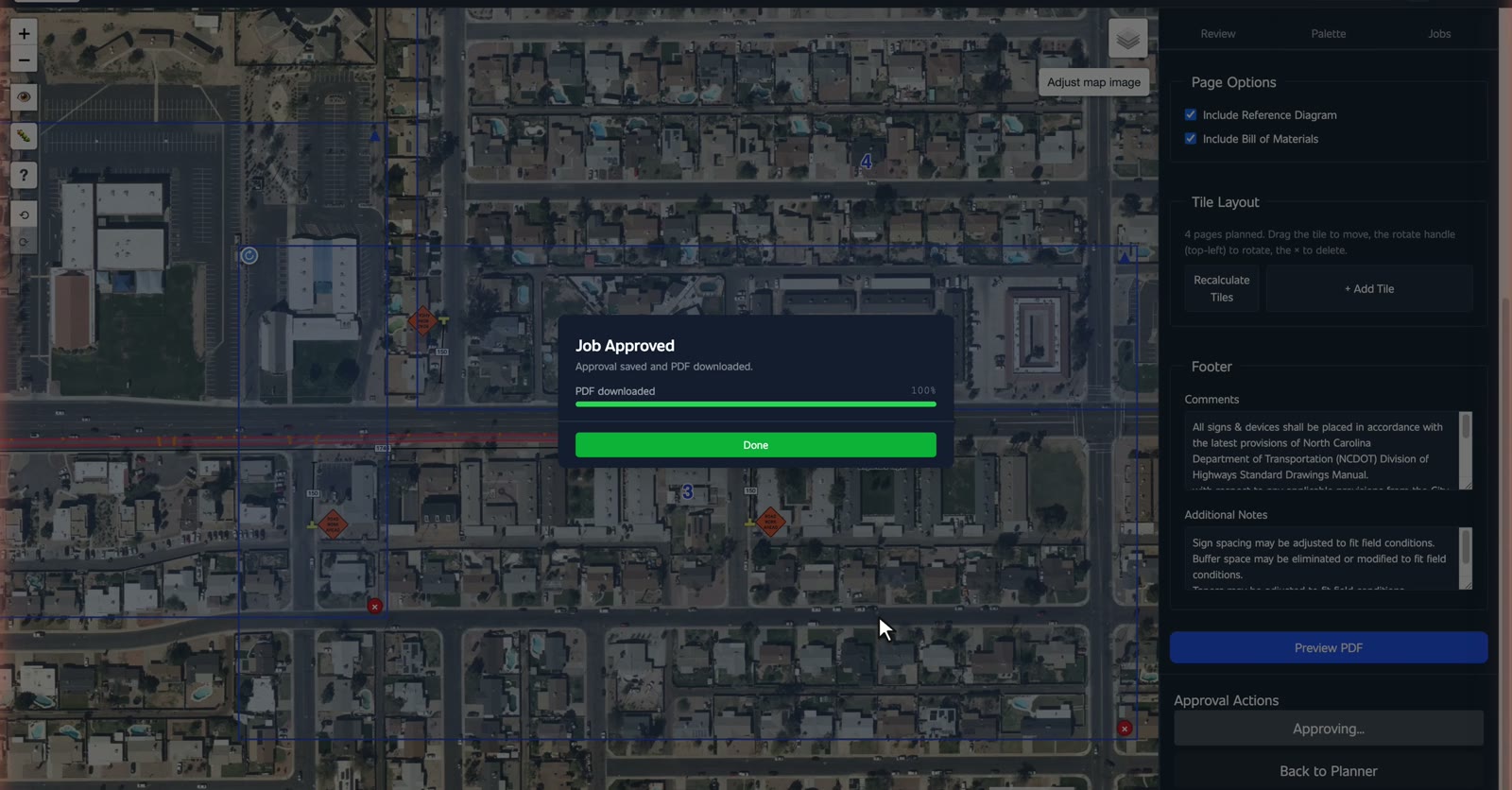
Then approve it.
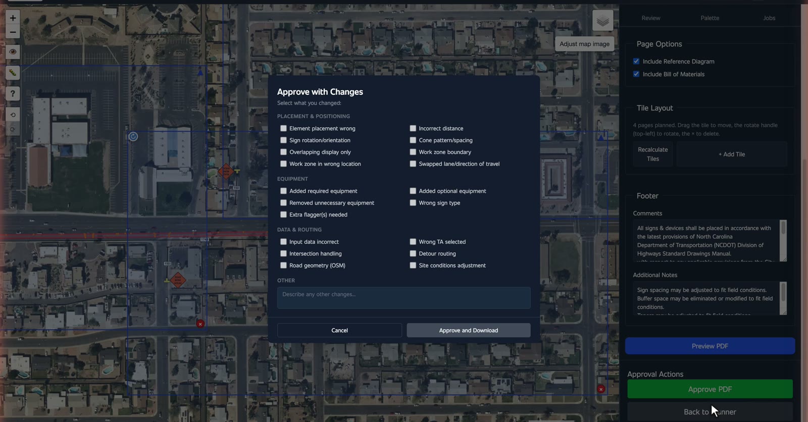
Say what you changed, and it is ready for the field.
Find the job, create it, review it, export it. That is the TCP platform.
Interactive walkthroughs. Press Next and each step happens in front of you, then you do it.
Pending Review → Claimed → Errors → Completed → Closed. Jobs move left to right. Yours start in Pending Review.
A job that hits a snag parks in Errors and waits for a person. Nothing is lost.
Claiming locks the job to you for 90 minutes. Two planners never work the same job. Release it when you are done.
Filter the board by state or company, or search the work order number.
Enter an address, or coordinates if that is what you have.
Click the start, click the end. Length and direction are measured for you.
Asks two more things: direction of travel, and which lane.
The plan uses your jurisdiction's standard, not a generic one. The rule name and speed show on the plan.
Counted for you. Every sign carries its MUTCD code and its distance out.
General sign sets are the same for everyone. One section is named for your state.
If the plan needs a person, send it to manual instead of fighting it.
Generate PDF lays the pages out. Change the scale to change how much road fits on a sheet. Drag to move, handle to turn, cross to remove, Add Tile for more detail.
Preview, then Approve. If you changed anything, say what, and the PDF goes to the field.